FEMA meeting set for Brookings to discuss new flood maps
A meeting will be held in Brookings Monday to review the new FEMA preliminary flood maps. It’s set for 5:00 to 7:00 pm in the third floor Chambers at the Government Center
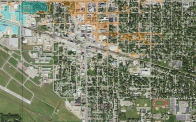
FEMA recently released these preliminary flood maps. The new digital maps use updated data and science to show the extent to which areas throughout Brookings County might be at risk for flooding.
Brookings City Manager Paul Briseno says it will be a chance for the public to ask questions of FEMA representatives and to learn more about the new maps and what they may mean for property owners.
The maps are still preliminary and there will be a 90-day period when property owners can submit data to file an appeal for an individual property.
Once all appeals and comments have been reviewed and needed changes made, FEMA will notify the City of Brookings and Brookings County that the maps are final. There will then be a sixth-month window where the City and County must update ordinances and land development regulations to fit the new maps.
The new preliminary flood maps are available at the FEMA Map Service Center.
September 15, 2023